
Достык topographic map
Interactive map
Click on the map to display elevation.
About this map
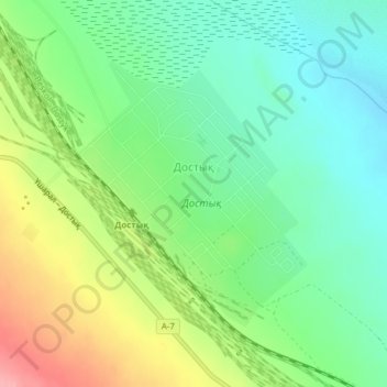
Name: Достык topographic map, elevation, terrain.
Location: Достык, Алакольский район, Алматинская область, Cazaquistão (45.24481 82.48146 45.26341 82.50410)
Average elevation: 409 m
Minimum elevation: 371 m
Maximum elevation: 476 m