
Nkinga topographic map
Interactive map
Click on the map to display elevation.
About this map
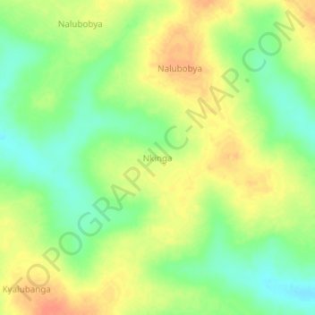
Name: Nkinga topographic map, elevation, terrain.
Location: Nkinga, Nakasongola, Central Region, Uganda (1.09667 32.66333 1.13667 32.70333)
Average elevation: 1,081 m
Minimum elevation: 1,059 m
Maximum elevation: 1,101 m