
Sayaka topographic map
Interactive map
Click on the map to display elevation.
About this map
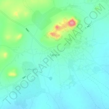
Name: Sayaka topographic map, elevation, terrain.
Location: Sayaka, Magu, Mwanza, Lake Zone, Tanzania (-2.54835 33.53817 -2.50835 33.57817)
Average elevation: 1,174 m
Minimum elevation: 1,149 m
Maximum elevation: 1,263 m