
Gunung Paku topographic map
Interactive map
Click on the map to display elevation.
About this map
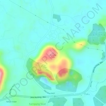
Name: Gunung Paku topographic map, elevation, terrain.
Location: Gunung Paku, Bau, Kuching Division, Sarawak, 94000, Malaysia (1.43267 110.18289 1.43277 110.18299)
Average elevation: 35 m
Minimum elevation: -2 m
Maximum elevation: 152 m
Other topographic maps
Click on a map to view its topography, its elevation and its terrain.