
Gemeinde Paudorf topographic map
Interactive map
Click on the map to display elevation.
About this map
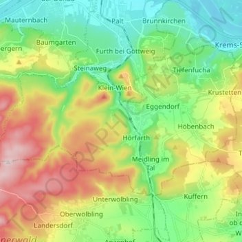
Name: Gemeinde Paudorf topographic map, elevation, terrain.
Location: Gemeinde Paudorf, Bezirk Krems, Baja Austria, 3508, Austria (48.32565 15.54784 48.37652 15.67042)
Average elevation: 332 m
Minimum elevation: 183 m
Maximum elevation: 587 m