
Saha-gu topographic map
Interactive map
Click on the map to display elevation.
About this map
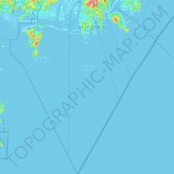
Name: Saha-gu topographic map, elevation, terrain.
Location: Saha-gu, Busan, South Korea (34.72525 128.92209 35.12673 129.06584)
Average elevation: 6 m
Minimum elevation: -5 m
Maximum elevation: 529 m