
Langila topographic map
Interactive map
Click on the map to display elevation.
About this map
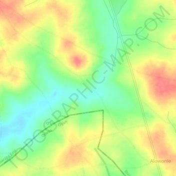
Name: Langila topographic map, elevation, terrain.
Location: Langila, Ibarapa East, Oyo, Nigéria (7.48000 3.43000 7.52000 3.47000)
Average elevation: 144 m
Minimum elevation: 112 m
Maximum elevation: 176 m