
Pong topographic map
Interactive map
Click on the map to display elevation.
About this map
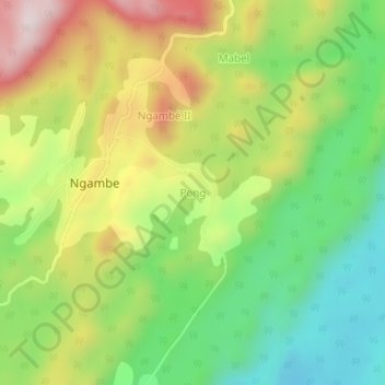
Name: Pong topographic map, elevation, terrain.
Location: Pong, Ngambé, Sanaga-Maritime, Littoral, Cameroon (4.20839 10.61146 4.24839 10.65146)
Average elevation: 525 m
Minimum elevation: 289 m
Maximum elevation: 841 m