
Winnipeg River topographic map
Interactive map
Click on the map to display elevation.
About this map
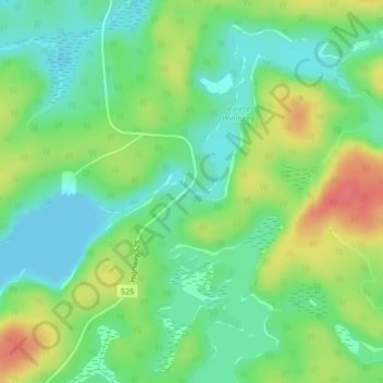
Name: Winnipeg River topographic map, elevation, terrain.
Average elevation: 323 m
Minimum elevation: 299 m
Maximum elevation: 361 m
Other topographic maps
Click on a map to view its topography, its elevation and its terrain.
Rivière la Martre
Kanada > Ontario > Unorganized Kenora District
Rivière la Martre, 325, Unorganized Kenora District, Kenora District, Ontario, Kanada
Average elevation: 427 m