
Idon topographic map
Interactive map
Click on the map to display elevation.
About this map
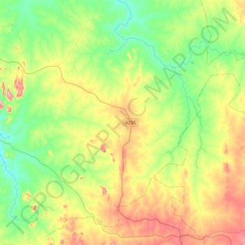
Name: Idon topographic map, elevation, terrain.
Location: Idon, Kajuru, Kaduna State, Nigeria (10.05845 7.75936 10.36820 8.12761)
Average elevation: 704 m
Minimum elevation: 605 m
Maximum elevation: 883 m