
Minas de Corrales topographic map
Interactive map
Click on the map to display elevation.
About this map
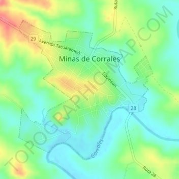
Name: Minas de Corrales topographic map, elevation, terrain.
Location: Minas de Corrales, Rivera, 41100, Uruguay (-31.58432 -55.48558 -31.56339 -55.46189)
Average elevation: 149 m
Minimum elevation: 118 m
Maximum elevation: 206 m
Other topographic maps
Click on a map to view its topography, its elevation and its terrain.