
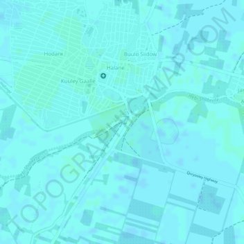
Degaybere topographic map
Interactive map
Click on the map to display elevation.
About this map
Name: Degaybere topographic map, elevation, terrain.
Average elevation: 68 m
Minimum elevation: 66 m
Maximum elevation: 70 m
Other topographic maps
Click on a map to view its topography, its elevation and its terrain.
Nuria
Somalia > Lower Shabelle > Qoriyoley District > Qoryooley
Nuria, Qoryooley, Qoriyoley District, Lower Shabelle, Somalia
Average elevation: 69 m