
龙埂 topographic map
Interactive map
Click on the map to display elevation.
About this map
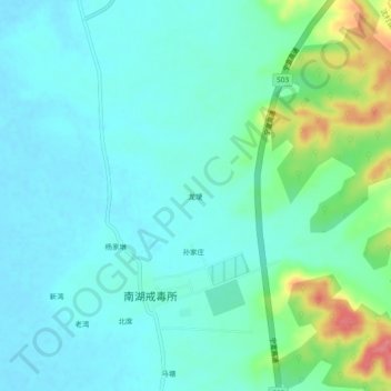
Name: 龙埂 topographic map, elevation, terrain.
Location: 龙埂, Shencun, Xuanzhou District, Xuancheng, Anhui, China (31.00407 118.84932 31.04407 118.88932)
Average elevation: 26 m
Minimum elevation: 8 m
Maximum elevation: 87 m