
平襄镇 topographic map
Interactive map
Click on the map to display elevation.
About this map
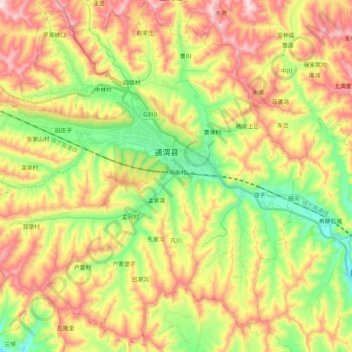
Name: 平襄镇 topographic map, elevation, terrain.
Location: 平襄镇, 通渭县, 定西市, 甘肃省, 中国 (35.10906 105.12350 35.28013 105.32528)
Average elevation: 1,915 m
Minimum elevation: 1,683 m
Maximum elevation: 2,186 m
Other topographic maps
Click on a map to view its topography, its elevation and its terrain.