
Válur topographic map
Interactive map
Click on the map to display elevation.
About this map
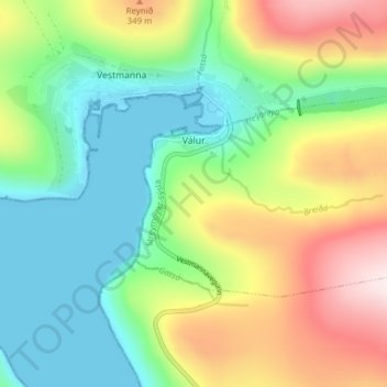
Name: Válur topographic map, elevation, terrain.
Location: Válur, Streymoy region, 358, Faroe Islands (62.13521 -7.16321 62.15463 -7.08577)
Average elevation: 181 m
Minimum elevation: -1 m
Maximum elevation: 505 m