
La Sella topographic map
Interactive map
Click on the map to display elevation.
About this map
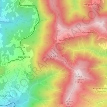
Name: La Sella topographic map, elevation, terrain.
Location: La Sella, Sant'Olcese, GE, Liguria, 16015, Italia (44.49715 8.99918 44.49725 8.99928)
Average elevation: 562 m
Minimum elevation: 260 m
Maximum elevation: 818 m