
Llogara National Park topographic map
Interactive map
Click on the map to display elevation.
Llogara National Park
Phytogeographically, the park falls within the Illyrian deciduous forests terrestrial ecoregion of the Palearctic Mediterranean forests, woodlands, and scrub biome. Its flora is diverse and characterised with high endemism, due to the combination of southern geographic latitude and high altitude variation. The forests are composed of diverse deciduous and coniferous species among other by bosnian pine, black pine, bulgarian fir, silver fir, ash trees, kermes oak and other species. Air currents that flow through the area have caused trees to bend in many interesting shapes, such as the Pisha e Flamurit. The vertebrate fauna consists of a wide range of species. Among the species of highest conservation value are the griffon vulture, golden eagle, rock partridge, fallow deer, roe deer, european wildcat, chamois, red squirrel, otter, wolf and red fox.
About this map
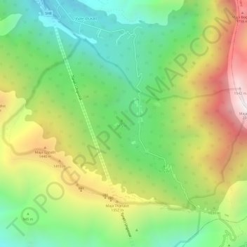
Name: Llogara National Park topographic map, elevation, terrain.
Average elevation: 1,024 m
Minimum elevation: 367 m
Maximum elevation: 2,002 m