Geolocate

Timbey topographic map

Click on the map to display elevation.

About this map

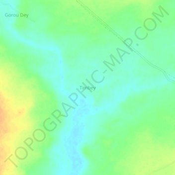
Name: Timbey topographic map, elevation, terrain.

Location: Timbey, Dosso, Dosso Region, Niger (12.83000 3.26333 12.87000 3.30333)

Average elevation: 215 m

Minimum elevation: 203 m

Maximum elevation: 233 m

Gear up for your next adventure:

🪓Outdoor Multitools - Versatile tools for hiking and camping
🧘Folding Sit Mats - Dry and warm seat for map-reading breaks on damp ground
🧣Neck Gaiters - Protects against wind and sun on exposed ridges and peaks
🥾Men's Waterproof Hiking Boots - Durable footwear with deep lugs for muddy and rocky UK terrains
📦Dry Bags - Waterproof bags to protect gear from rain

As an Amazon Associate, this site earns from qualifying purchases at no extra cost to you.