
Iglesia topographic map
Interactive map
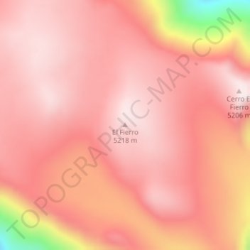
Click on the map to display elevation.
About this map
Name: Iglesia topographic map, elevation, terrain.
Location: Iglesia, San Juan, Argentina, El Fierro (-30.13218 -69.64535 -30.13208 -69.64525)
Average elevation: 5,082 m
Minimum elevation: 4,610 m
Maximum elevation: 5,220 m
Other topographic maps
Click on a map to view its topography, its elevation and its terrain.