
Víctimas topographic map
Interactive map
Click on the map to display elevation.
About this map
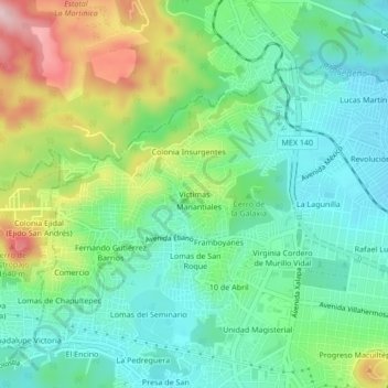
Name: Víctimas topographic map, elevation, terrain.
Location: Víctimas, Xalapa, Veracruz, 91018, Mexique (19.54642 -96.95993 19.58642 -96.91993)
Average elevation: 1,482 m
Minimum elevation: 1,400 m
Maximum elevation: 1,656 m
Other topographic maps
Click on a map to view its topography, its elevation and its terrain.