
Jishou topographic map
Interactive map
Click on the map to display elevation.
About this map
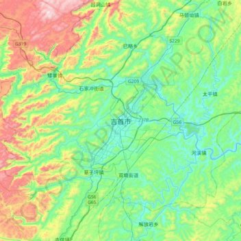
Name: Jishou topographic map, elevation, terrain.
Location: Jishou, Xiangxi, Hunan, China (28.10526 109.53387 28.42526 109.85387)
Average elevation: 410 m
Minimum elevation: 145 m
Maximum elevation: 1,076 m
Other topographic maps
Click on a map to view its topography, its elevation and its terrain.