Geolocate

Templin topographic map

Click on the map to display elevation.

About this map
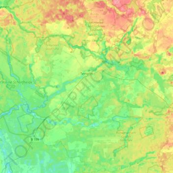
Name: Templin topographic map, elevation, terrain.

Location: Templin, Uckermark, Brandenburg, 17268, Germany (52.98698 13.32229 53.21704 13.67169)

Average elevation: 64 m

Minimum elevation: 37 m

Maximum elevation: 111 m

Gear up for your next adventure:

🎒Backpack Rain Covers - Universal waterproof covers to protect your gear from downpours
🧘Folding Sit Mats - Dry and warm seat for map-reading breaks on damp ground
🥾Trekking Poles - Poles to improve stability on uneven terrain
🧺Microfibre Travel Towels - Fast-drying and compact towels for wild swimming and camping
📕Outdoor Navigation Books - Learn traditional and modern navigation techniques

As an Amazon Associate, this site earns from qualifying purchases at no extra cost to you.