
Hapakun topographic map
Interactive map
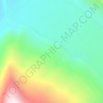
Click on the map to display elevation.
About this map
Name: Hapakun topographic map, elevation, terrain.
Average elevation: 3,199 m
Minimum elevation: 2,791 m
Maximum elevation: 4,115 m
Other topographic maps
Click on a map to view its topography, its elevation and its terrain.
360 views of Rakkposhi and Hunza
Pakistan > Gilgit-Baltistan > Nagar District
Average elevation: 3,472 m