
La Biesmelle topographic map
Interactive map
Click on the map to display elevation.
About this map
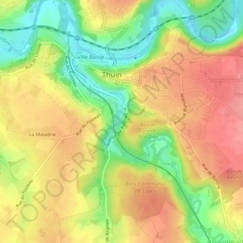
Name: La Biesmelle topographic map, elevation, terrain.
Location: La Biesmelle, Thuin, Henegouwen, Wallonië, 6530, België (50.33309 4.28671 50.33594 4.28956)
Average elevation: 160 m
Minimum elevation: 111 m
Maximum elevation: 199 m