
Thank you for supporting this site ❤️
Make a donation
Make a donation
Gear up for your next adventure:
As an Amazon Associate, this site earns from qualifying purchases at no extra cost to you.
Sukna topographic map
Click on the map to display elevation.
Thank you for supporting this site ❤️
Make a donation
Make a donation
Gear up for your next adventure:
As an Amazon Associate, this site earns from qualifying purchases at no extra cost to you.
About this map
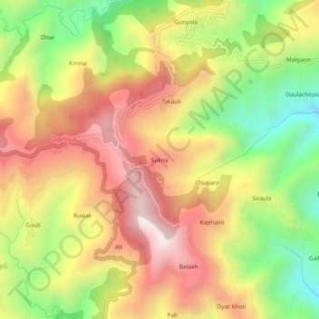
Name: Sukna topographic map, elevation, terrain.
Location: Sukna, Daniya, Bhanoli, Almora, Uttarakhand, 263622, India (29.54842 79.92073 29.58842 79.96073)
Average elevation: 1,430 m
Minimum elevation: 976 m
Maximum elevation: 1,844 m
Thank you for supporting this site ❤️
Make a donation
Make a donation
Gear up for your next adventure:
As an Amazon Associate, this site earns from qualifying purchases at no extra cost to you.