
Allapur topographic map
Interactive map
Click on the map to display elevation.
About this map
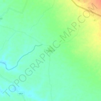
Name: Allapur topographic map, elevation, terrain.
Location: Allapur, Dhule, Maharashtra, 425438, India (21.28069 74.92395 21.32069 74.96395)
Average elevation: 162 m
Minimum elevation: 146 m
Maximum elevation: 190 m