Geolocate

Sucat topographic map

Click on the map to display elevation.

About this map
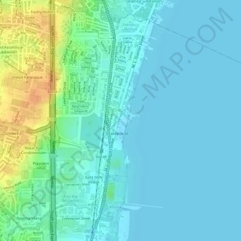
Name: Sucat topographic map, elevation, terrain.

Location: Sucat, Muntinlupa District 2, Muntinlupa, Southern Manila District, Metro Manila, Philippines (14.44355 121.03730 14.46797 121.05734)

Average elevation: 11 m

Minimum elevation: 1 m

Maximum elevation: 40 m

Other topographic maps

Click on a map to view its topography, its elevation and its terrain.

Pasong Diablo River

Philippines > Muntinlupa

Average elevation: 12 m

Gear up for your next adventure:

🔦Waterproof LED Headlamps - Hands-free lighting for evening treks and emergency navigation
🥤Hydration Bladders - Hands-free hydration systems for backpacks
🕶️Glacier Goggles - Maximum protection for high-altitude snow topography
🛌Insulated Sleeping Mats - Crucial thermal protection when sleeping on cold, uneven ground
🩹Hiking First Aid Kits - Compact medical kits tailored for trail injuries and emergencies

As an Amazon Associate, this site earns from qualifying purchases at no extra cost to you.