
Los Calderones topographic map
Interactive map
Click on the map to display elevation.
About this map
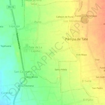
Name: Los Calderones topographic map, elevation, terrain.
Location: Los Calderones, Provincia de Ica, Ica, Perú (-14.17703 -75.72079 -14.13703 -75.68079)
Average elevation: 400 m
Minimum elevation: 376 m
Maximum elevation: 420 m