
Nagial topographic map
Interactive map
Click on the map to display elevation.
About this map
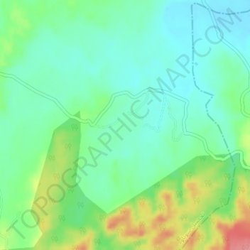
Name: Nagial topographic map, elevation, terrain.
Location: Nagial, Tehsil Sohawa, Punjab, Pakistan (32.89194 73.41780 32.89822 73.42521)
Average elevation: 322 m
Minimum elevation: 291 m
Maximum elevation: 391 m