
Oranjemund topographic map
Interactive map
Click on the map to display elevation.
About this map
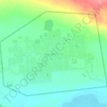
Name: Oranjemund topographic map, elevation, terrain.
Location: Oranjemund, Karas, Namibia (-28.56431 16.41042 -28.53952 16.44645)
Average elevation: 29 m
Minimum elevation: 1 m
Maximum elevation: 93 m