
Fengtai District topographic map
Interactive map
Click on the map to display elevation.
About this map
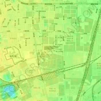
Name: Fengtai District topographic map, elevation, terrain.
Location: Fengtai District, 郭公庄村, Beijing, 100070, China (39.79071 116.28043 39.83071 116.32043)
Average elevation: 48 m
Minimum elevation: 33 m
Maximum elevation: 54 m