
Ward 24 topographic map
Interactive map
Click on the map to display elevation.
About this map
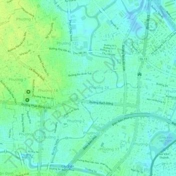
Name: Ward 24 topographic map, elevation, terrain.
Location: Ward 24, Binh Thanh District, 720000, Vietnam (10.80283 106.69872 10.80823 106.71151)
Average elevation: 7 m
Minimum elevation: -2 m
Maximum elevation: 15 m