
Buggenhout topographic map
Interactive map
Click on the map to display elevation.
About this map
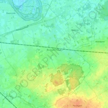
Name: Buggenhout topographic map, elevation, terrain.
Location: Buggenhout, Flandre orientale, Flandre, 9255, Belgique (50.98222 4.15408 51.04332 4.24112)
Average elevation: 12 m
Minimum elevation: -1 m
Maximum elevation: 32 m