
Estercuel topographic map
Interactive map
Click on the map to display elevation.
About this map
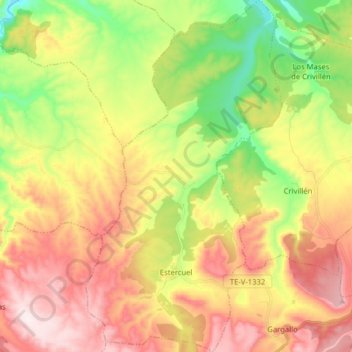
Name: Estercuel topographic map, elevation, terrain.
Location: Estercuel, Andorra-Sierra de Arcos, Teruel, Aragon, Spain (40.82821 -0.67258 40.94822 -0.58419)
Average elevation: 855 m
Minimum elevation: 595 m
Maximum elevation: 1,132 m