
Santa Maria La Fossa topographic map
Interactive map
Click on the map to display elevation.
About this map
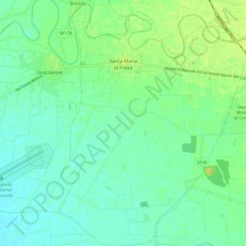
Name: Santa Maria La Fossa topographic map, elevation, terrain.
Location: Santa Maria La Fossa, Caserta, Campania, Italy (41.03974 14.10370 41.10997 14.18062)
Average elevation: 12 m
Minimum elevation: 4 m
Maximum elevation: 24 m