
Bunker Hill Village topographic map
Interactive map
Click on the map to display elevation.
About this map
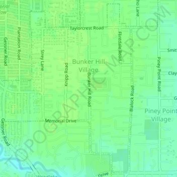
Name: Bunker Hill Village topographic map, elevation, terrain.
Location: Bunker Hill Village, Harris County, Texas, United States (29.75108 -95.54642 29.77691 -95.52220)
Average elevation: 27 m
Minimum elevation: 20 m
Maximum elevation: 30 m
Other topographic maps
Click on a map to view its topography, its elevation and its terrain.