
Sungai Siput Selatan topographic map
Interactive map
Click on the map to display elevation.
About this map
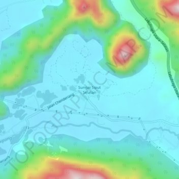
Name: Sungai Siput Selatan topographic map, elevation, terrain.
Location: Sungai Siput Selatan, Perak, Malaysia (4.37488 101.17386 4.41488 101.21386)
Average elevation: 136 m
Minimum elevation: 24 m
Maximum elevation: 597 m