
Puerto marítimo topographic map
Interactive map
Click on the map to display elevation.
About this map
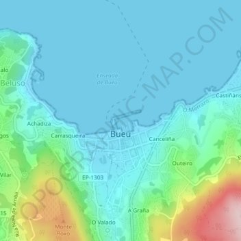
Name: Puerto marítimo topographic map, elevation, terrain.
Location: Puerto marítimo, Vigo, 36930, España (42.32875 -8.78644 42.32885 -8.78634)
Average elevation: 54 m
Minimum elevation: 0 m
Maximum elevation: 287 m