
Villa Reynolds topographic map
Interactive map
Click on the map to display elevation.
About this map
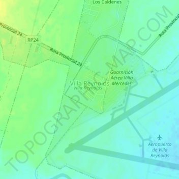
Name: Villa Reynolds topographic map, elevation, terrain.
Average elevation: 488 m
Minimum elevation: 480 m
Maximum elevation: 498 m
In Villa Reynolds befindet sich der Flughafen Flughafen Villa Reynolds. Von hier wurden am 22. März und am 28. März 1973 zwei britische Höhenforschungsraketen vom Typ Skylark gestartet, die 240 km Höhe erreichten.