
La Mode topographic map
Interactive map
Click on the map to display elevation.
About this map
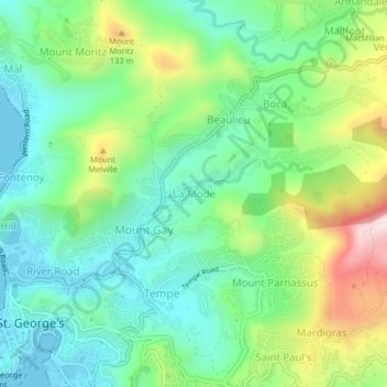
Name: La Mode topographic map, elevation, terrain.
Location: La Mode, Saint George, Grenada (12.04691 -61.75449 12.08691 -61.71449)
Average elevation: 156 m
Minimum elevation: 0 m
Maximum elevation: 496 m
Other topographic maps
Click on a map to view its topography, its elevation and its terrain.