
Daniel Carter Beard Boyhood Home topographic map
Interactive map
Click on the map to display elevation.
About this map
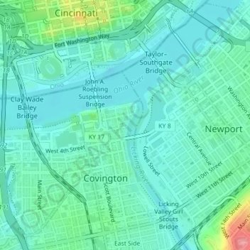
Name: Daniel Carter Beard Boyhood Home topographic map, elevation, terrain.
Average elevation: 157 m
Minimum elevation: 136 m
Maximum elevation: 236 m
Other topographic maps
Click on a map to view its topography, its elevation and its terrain.
Austinburg
United States > Kentucky > Kenton County > Covington > Austinburg
Austinburg, Covington, Kenton County, Kentucky, 41014, United States
Average elevation: 178 m