Geolocate

Munar topographic map

Click on the map to display elevation.

About this map

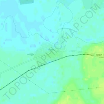
Name: Munar topographic map, elevation, terrain.

Location: Munar, Arad, 317286, Romania (46.09949 21.01298 46.10624 21.02583)

Average elevation: 101 m

Minimum elevation: 96 m

Maximum elevation: 110 m

Gear up for your next adventure:

🦶Anti-Blister Balms - Protect your feet before long topographic expeditions
🔦LED Camping Lanterns - Illumination for reading maps inside your tent at night
🌄Outdoor Binoculars - Compact binoculars for landscape observation
🧵Survival Paracord - Multi-purpose cordage for emergency repairs and shelters
🛑Emergency Bivvy Bags - Heat-reflective survival bags for unexpected nights out

As an Amazon Associate, this site earns from qualifying purchases at no extra cost to you.