Geolocate

Alchi topographic map

Click on the map to display elevation.

About this map

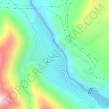
Name: Alchi topographic map, elevation, terrain.

Location: Alchi, Khaltsi, Leh District, Ladakh, India (34.21197 77.16601 34.23659 77.18505)

Average elevation: 3,261 m

Minimum elevation: 3,053 m

Maximum elevation: 3,771 m

Gear up for your next adventure:

🧴Sport Sunscreen Sticks - High-protection sunblock that won't run into your eyes on the trail
📱Phone Mounts for Hiking - Secure mounts to carry your phone on trails
🔋Solar Chargers - Eco-friendly charging solutions for outdoor use
🌄Compact Monoculars - Lightweight optics for hiking
🗺️Ordnance Survey Maps - Official UK maps for walking and outdoor activities

As an Amazon Associate, this site earns from qualifying purchases at no extra cost to you.