
Thank you for supporting this site ❤️
Make a donation
Make a donation
Gear up for your next adventure:
As an Amazon Associate, this site earns from qualifying purchases at no extra cost to you.
Abeliani topographic map
Click on the map to display elevation.
Thank you for supporting this site ❤️
Make a donation
Make a donation
Gear up for your next adventure:
As an Amazon Associate, this site earns from qualifying purchases at no extra cost to you.
About this map
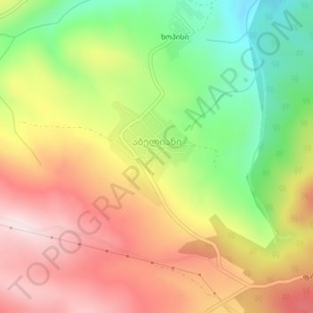
Name: Abeliani topographic map, elevation, terrain.
Location: Abeliani, Tetritskaro Municipality, Lower Kartli, Georgia (41.56582 44.48937 41.57505 44.50175)
Average elevation: 1,018 m
Minimum elevation: 793 m
Maximum elevation: 1,230 m
Thank you for supporting this site ❤️
Make a donation
Make a donation
Gear up for your next adventure:
As an Amazon Associate, this site earns from qualifying purchases at no extra cost to you.