Geolocate

Naval Nuclear Power Training Command topographic map

Click on the map to display elevation.

About this map

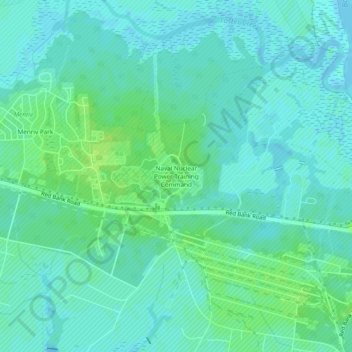
Name: Naval Nuclear Power Training Command topographic map, elevation, terrain.

Location: Naval Nuclear Power Training Command, Goose Creek, Berkeley County, South Carolina, United States (32.94594 -79.98542 32.98594 -79.94542)

Average elevation: 5 m

Minimum elevation: -1 m

Maximum elevation: 12 m

Gear up for your next adventure:

Altimeter Watches - Watches measuring altitude for mountain activities
🧘Folding Sit Mats - Dry and warm seat for map-reading breaks on damp ground
🪓Outdoor Multitools - Versatile tools for hiking and camping
🔥Emergency Fire Starters - Reliable ignition tools for survival situations in damp conditions
🧭Orienteering Compasses - Accurate compasses for map-based navigation

As an Amazon Associate, this site earns from qualifying purchases at no extra cost to you.