
Kokand topographic map
Interactive map
Click on the map to display elevation.
About this map
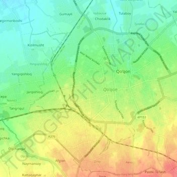
Name: Kokand topographic map, elevation, terrain.
Location: Kokand, Danghara Tumani, Fergana Region, 150700, Uzbekistan (40.50163 70.89048 40.56502 70.98956)
Average elevation: 411 m
Minimum elevation: 388 m
Maximum elevation: 442 m