
M'bour topographic map
Interactive map
Click on the map to display elevation.
About this map
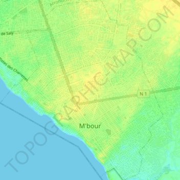
Name: M'bour topographic map, elevation, terrain.
Location: M'bour, Département de M'bour, Thiès Region, Senegal (14.39221 -16.99903 14.45681 -16.93860)
Average elevation: 9 m
Minimum elevation: 0 m
Maximum elevation: 18 m