Geolocate

Stretton topographic map

Click on the map to display elevation.

About this map

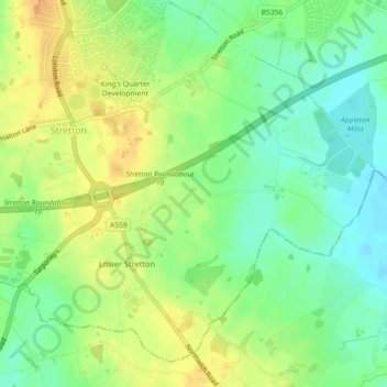
Name: Stretton topographic map, elevation, terrain.

Location: Stretton, Warrington, England, United Kingdom (53.32306 -2.58112 53.34663 -2.53925)

Average elevation: 74 m

Minimum elevation: 58 m

Maximum elevation: 90 m

Warrington trails, hiking, mountain biking, running and outdoor activities

Gear up for your next adventure:

❄️Walking Crampons - Added traction for icy slopes and winter peak bagging
🪓Outdoor Multitools - Versatile tools for hiking and camping
🦶Anti-Blister Balms - Protect your feet before long topographic expeditions
🎒Backpack Rain Covers - Universal waterproof covers to protect your gear from downpours
🧼Biodegradable Soap - Leave-no-trace hygiene for multi-day mountain treks

As an Amazon Associate, this site earns from qualifying purchases at no extra cost to you.