
Al Jaradiyah topographic map
Interactive map
Click on the map to display elevation.
About this map
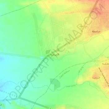
Name: Al Jaradiyah topographic map, elevation, terrain.
Location: Al Jaradiyah, Samtah, Jazan Region, 83736, Saudi Arabia (16.54000 42.87194 16.62000 42.95194)
Average elevation: 47 m
Minimum elevation: 30 m
Maximum elevation: 68 m