
Kampung Opar topographic map
Interactive map
Click on the map to display elevation.
About this map
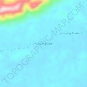
Name: Kampung Opar topographic map, elevation, terrain.
Location: Kampung Opar, Bau, Kuching Division, Sarawak, Malaysia (1.42009 110.05292 1.46009 110.09292)
Average elevation: 61 m
Minimum elevation: 16 m
Maximum elevation: 428 m
Other topographic maps
Click on a map to view its topography, its elevation and its terrain.